18,5 km | 25 km-effort
Bolus Head loop
FabienneD
Utilisateur
Longueur
7,8 km
Altitude max
278 m
Dénivelé positif
326 m
Km-Effort
12,2 km
Altitude min
44 m
Dénivelé négatif
326 m
Boucle
Oui
Date de création :
2015-06-14 00:00:00.0
Dernière modification :
2015-06-14 00:00:00.0
2h31
Difficulté : Moyen
Application GPS de randonnée GRATUITE
À propos
Randonnée Marche de 7,8 km à découvrir à Inconnu, County Kerry, Kenmare Municipal District. Cette randonnée est proposée par FabienneD.
Description
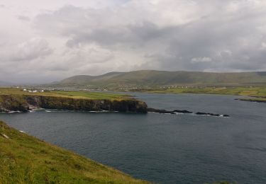
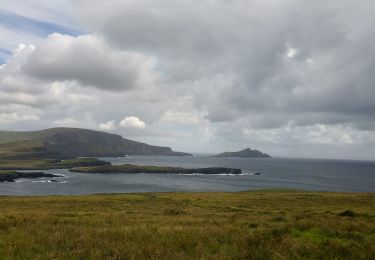
Magnifiques vues sur la cote, les îles Skelling, les champs de moutons, etc.
Localisation
Pays :
Irlande
Région :
Inconnu
Département/Province :
County Kerry
Commune :
Kenmare Municipal District
Localité :
BaILe an Sceilg
Départ:(Dec)
Départ:(UTM)
407818 ; 5741208 (29U) N.
Commentaires
Randonnées à proximité
Caherdaniel - Sneem
Autre activité
Très facile
Kenmare Municipal District,
Inconnu,
County Kerry,
Irlande
5h 30min
Non
Waterville Caherdaniel
Autre activité
Très facile
Kenmare Municipal District,
Inconnu,
County Kerry,
Irlande
15 km | 20 km-effort
4h 38min
Non
Derrymore - Waterville
Autre activité
Très facile
Kenmare Municipal District,
Inconnu,
County Kerry,
Irlande
17,6 km | 26 km-effort
5h 38min
Non
j03-3
Voiture
Très facile
Kenmare Municipal District,
Inconnu,
County Kerry,
Irlande
78 km | 92 km-effort
3h 3min
Non
Catherdaniel - Killarney WAW part 4
Voiture
Très facile
Kenmare Municipal District,
Inconnu,
County Kerry,
Irlande
160 km | 186 km-effort
Inconnu
Non
KW07 - Caherdaniel - Sneem
Marche
Moyen
Kenmare Municipal District,
Inconnu,
County Kerry,
Irlande
18,2 km | 24 km-effort
5h 10min
Non
KW06 - Waterville - Caherdaniel
Marche
Moyen
Kenmare Municipal District,
Inconnu,
County Kerry,
Irlande
13,2 km | 17,7 km-effort
3h 48min
Non
KW05 - Cahersiveen - Waterville
Marche
Moyen
Kenmare Municipal District,
Inconnu,
County Kerry,
Irlande
18,1 km | 26 km-effort
5h 24min
Non
Waterville - Staigue
Marche
Moyen
Kenmare Municipal District,
Inconnu,
County Kerry,
Irlande
19,9 km | 27 km-effort
5h 44min
Non